As time permits, we'll add posts about various trips we took in 2009, starting with some travels around California.
In August, we spent a week going from Santa Maria to Lake Tahoe and return, with various stops along the way. The first was at Kings Canyon National Park, in the southern Sierra Nevada.
Driving to the park, you first come to the Grant Grove area (elevation 6,500 feet), which contains several groves of giant sequoia trees. The best known of these is the General Grant tree itself, which is either the second- or third-largest tree in the world, depending on which source you go to. We took a walk around the self-guided loop trail, which gives you an appreciation not only of how massive these trees are but also of how they have withstood the ravages of nature (particularly fire). Before starting on the trail, you get a nice view of three large trees clustered together, known as the "Happy Family."
(Click on any photo to enlarge. All photos © 2009 Tom Murray)

Several of the trees (including the General Grant tree itself, shown below) had experienced fires over the years. The sign next to one of the them said that the living tissue of a tree "lies just under its bark. So long as some of this thin, living tissue connects the leaves above with the roots below, the tree will continue to live. If undisturbed by people, or more fire, this living layer will eventually heal the fire scars."

One of more popular photo stops on the trail is the "Fallen Monarch," the shell of a tree that was once used as a saloon and as a stable, and is large enough to walk through.

We stayed at the John Muir Lodge, near Grant Grove. It's not a historic lodge, but the design is rustic, in keeping with the wooded setting. The rooms were clean and comfortable, and we enjoyed sitting on the public balcony at the end of the lodge where we met some interesting fellow travelers.
The next day, our first stop was at the end of a 2-mile road leading from the lodge to Panoramic Point (elevation 7,520 feet). From here, you get a sweeping view of Kings Canyon itself, which was formed through a combination of uplift of the earth's crust, erosion, glacial action, and the carving effect of the south fork of the Kings River. On the horizon are the peaks of the southern Sierra Nevada, several of them rising to more than 14,000 feet.

After leaving Panoramic Point, we went back through the Grant Grove area. Because Kings Canyon and adjacent Sequoia National Park were created in stages, their layout can be somewhat confusing. To reach the main portion of Kings Canyon from Grant Grove, you travel over a road through Sequoia National Forest, descending to the canyon floor via a series of hairpin turns. Along the way, you get some nice views of the Sierra peaks, with lots of manzanita along the roadside as shown in this photo.

As you descend further, you come closer to the granite cliffs that form the canyon walls.

Near the end of the Kings Canyon road, we explored a portion of the Zumwalt Meadow nature trail. However, when we reached a bridge crossing the south fork of the Kings River, we met a family who said they had seen a bear with two cubs near the trail. We knew enough not to run the risk of getting between a mother bear and her cubs, so we didn't go any farther on the trail, but we did get some nice views of the river.


On our way back from Zumwalt Meadows, we stopped at Roaring River Falls, where a tributary of the Kings River drops through a steep canyon not far from the park road.

We stopped at Cedar Grove, which contains a visitor center as well as lodging and a restaurant, and enjoyed a sandwich next to the river. On the way back, we made several stops to view the spectacular granite cliffs along the park road. As we drove though King's Canyon, we were struck with how few tourists were there compared to neighboring Yosemite. We think the scenery is equally dramatic.


We also stopped for gas at Kings Canyon Lodge in Sequoia National Forest, just outside the park boundary. The antique gas pumps had a sign proclaiming them to be "America's oldest double gravity pumps - 1928." First the glass cylinders were filled with the amount of gas we requested and then the gas slowly flowed into our car's tank. It was a slow, fascinating process.

After we left the lodge and started climbing the road back toward Grant Grove Village, we could see the red roofs of the lodge buildings in the valley far below.

We spent another night at the John Muir Lodge and then proceeded toward our next destination, Sorensen's Resort in Hope Valley, about 20 miles south of Lake Tahoe.

Our route took us through Fresno and then north into Yosemite National Park, which we found to be more crowded than on any previous visit. We had hoped to stop at Wawona, near the south end of the park, for lunch, but there were too many tour buses (and people) there, so we traveled on and finally stopped at White Wolf Lodge, where we got a sandwich and had a nice lunch. We had come here several times over the years and stayed in tent cabins, which is as close to camping as we ever get.
After crossing Tioga Pass (elevation 9,943 feet), our next stop was just outside the Yosemite boundary, at Tioga Pass Resort, which we fondly remembered as having wonderful berry pies. The pie wasn't quite as great as we remembered, but it wasn't bad. We traveled up U.S. 395 past Mono Lake, and onto Highway 89 over Monitor Pass (8,314 feet), to Sorensen's.
Like Wawona and White Wolf, Sorensen's is a place we had visited with our children in the 1990s. It consists of more than 30 cabins (some wood frame, some log) in a grove of aspens at the foot of cliffs in Hope Valley. The cabins are all somewhat rustic, but quite different from each other.

It's actually more of a destination in winter than in summer because of the great cross-country skiing, as well as its proximity to Kirkwood and other Tahoe-area ski resorts.

The history of the resort goes back to the 1920s, when the Sorensen family, who had come to the area in order to make a living raising sheep, started to take in travelers. The property went through many ups and downs over the years, and is now operated by a couple (John and Patty Brissenden) who purchased it in the 1980s. (For an article on the evolution of Sorensen's, click here).

We stayed in one of the older cabins, Foxtail.

We were surprised to hear rain on the cabin roof overnight. This was August, and rain in late summer is very unusual in California. We drove into South Lake Tahoe for the day, and by the time we got back, the sun had come out and everything had dried out pretty well.
Sorensen's is incredibly relaxing and beautiful and it's one of our favorite places to stay. In addition to the cabins, the resort features a "country kitchen" that, while not pretentious in any way, serves some wonderful meals (such as the rack of lamb we had for dinner here on this visit). And scattered around the property are bears (all of them quite friendly) in various poses.


After two nights at Sorensen's, it was on to South Lake Tahoe for two nights at Marriott's Timber Lodge, a Marriott Vacation Club (i.e., timeshare) property. We connected with our daughter Lindy and her boyfriend Eddie, and spent the next two days with them exploring the local shops, having a nice picnic next to the lake, and playing Scattergories. We were only a couple hundred feet from the Nevada state line, but we felt no temptation to visit the casinos. Timber Lodge was quiet and comfortable, but like most lodging places in South Lake Tahoe, it's very big.
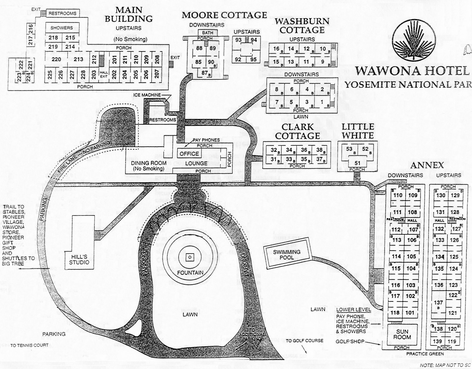
Our last destination on this trip was The Wawona Hotel, which we had passed on our way from Kings Canyon to Sorensen's.

That was on the weekend, and we were hoping that Yosemite would be less crowded as we returned mid-week. We took a different route this time, going over 8,650-foot Carson Pass on Highway 88, through Jackson, and then into Yosemite through the Big Oak Flat entrance on Highway 120. As we approached the park, we noticed a large plume of smoke. It turned out to be a controlled burn that had gotten out of control a few hours earlier; over the next two weeks it would burn 7,425 acres instead of the 90 that had been planned.
To make matters worse, there had been a rockslide the same day near the Ahwahnee Hotel in Yosemite Valley, and the hotel had been evacuated. Understandably, there was a lot of confusion at the entrance station, but the bottom line was that we would have to turn around, retrace our steps for several miles, and take a detour of about 100 miles, over some of the slowest sections of Highway 49, to get to Wawona. We finally arrived at 7:30 P.M., instead of our planned arrival of 5:00 P.M. But we were there, we were fine, and it made for an interesting day. We checked in at the front desk of the Wawona.

Although it had been busy the previous weekend, by the time we arrived, the Wawona had settled into a more normal pace. This is our favorite place to stay in Yosemite, summer or winter. It was built in the 1870s, and consists of the main building (where we stayed, in a room on the second floor) as well as several smaller buildings plus an annex.


Of all the places we've been in California, this comes closest in spirit to New England, where we grew up. Many of the rooms have shared baths and there are no TVs or air conditioning, so we understand it's not for everyone.

The day after we arrived, we were walking around Pioneer Yosemite History Center (an area of historic buildings) when we saw the wagon and team that provides stage rides during the summer. The stage driver, Burrel Maier, is a longtime family friend of the chef at Jenny Lake Lodge in Wyoming, where Tom worked in 2008. We took a ride with Burrel, who's been driving the stage for 32 years, and got a new perspective on Wawona.


That night, we had drinks in the Wawona lounge and listened to singer and pianist Tom Bopp, who has a broad repertoire but specializes in songs of the 1920s and '30s. He's been a fixture in Yosemite and particularly at the Wawona for years, and is an expert on the park. That evening, he not only sang and played the piano, but also gave a historical presentation about the park.
The next day, we headed for home, but we returned to the mountains for another stay at Sorensen's just before Thanksgiving. We stayed in the Bay Area and then drove through the Sacramento - San Joaquin River Delta and Sierra foothills toward our destination. In Amador County, we stopped at Convergence Vineyards, where, as the only visitors, we had a nice chat with the owners, Jamie and Stephen Concannon (he's the winemaker). They suggested a stop at Cooper Vineyards, which we also enjoyed.
As we crossed the mountains, the weather was rainy, but it had snowed a couple of days earlier, and after reaching the eastern side of the mountains, the sun broke through, giving us a nice view of Caples Lake, which lies between Carson Pass and Hope Valley.

Our three-night stay at Sorensen's gave us a small taste of winter, but we had blue skies for almost the entire time. The snow cover wasn't deep, but the fact that much of the property is in the shade on winter days had kept it from melting.


Most of the resident bears seemed perfectly happy to spend the winter hibernating in place.

On this trip, we stayed in one of the larger cabins, Rock Creek.

It was a great choice, although controlling the temperature was a challenge. There was a gas fireplace in the first-floor living room, but most of the heat seemed to go straight to the bedroom in the second-floor loft. So after sitting downstairs all bundled up each evening, we'd go to bed and have to open the window and turn on the fan to get the temperature down.
On the first day we were there, Tom put on his boots and headed up the fire road behind the property. At first there were tracks left by other visitors, but about half a mile up the road signs of other human visits since the recent snowfall disappeared, and the only tracks on the trail were those left by wildlife.

It wasn't clear to Tom what animals had left the tracks, but from their size, most of them seemed to be from deer, rabbits and coyotes.

But then there was one set of tracks that was clearly from something larger. Apparently not all of the local bears were spending the winter hanging off the trees at Sorensen's!

The next day, we explored another trail in the Carson Valley.

Everything around here, it seems, is named after frontiersman Kit Carson -- Carson Pass, Carson Valley, and the west fork of the Carson River, which we crossed as we headed up the trail. His local notoriety comes from his work in helping John C. Frémont's expedition cross the Sierra Nevada in the winter of 1843-44.
We had a couple of very good dinners while we were at Sorensen's, sampling the lamb chops, the beef bourguignon (a house specialty) and the carne asada. Soon, however, it was time to head for the Bay Area for Thanksgiving with Lindy and our longstanding and ever-generous hosts, the Garveys (this was our 20th year of taking advantage of their great hospitality on turkey day!). We do hope to get back to the mountains in 2010.
Text and images ©2009 Tom and Marcia Murray
